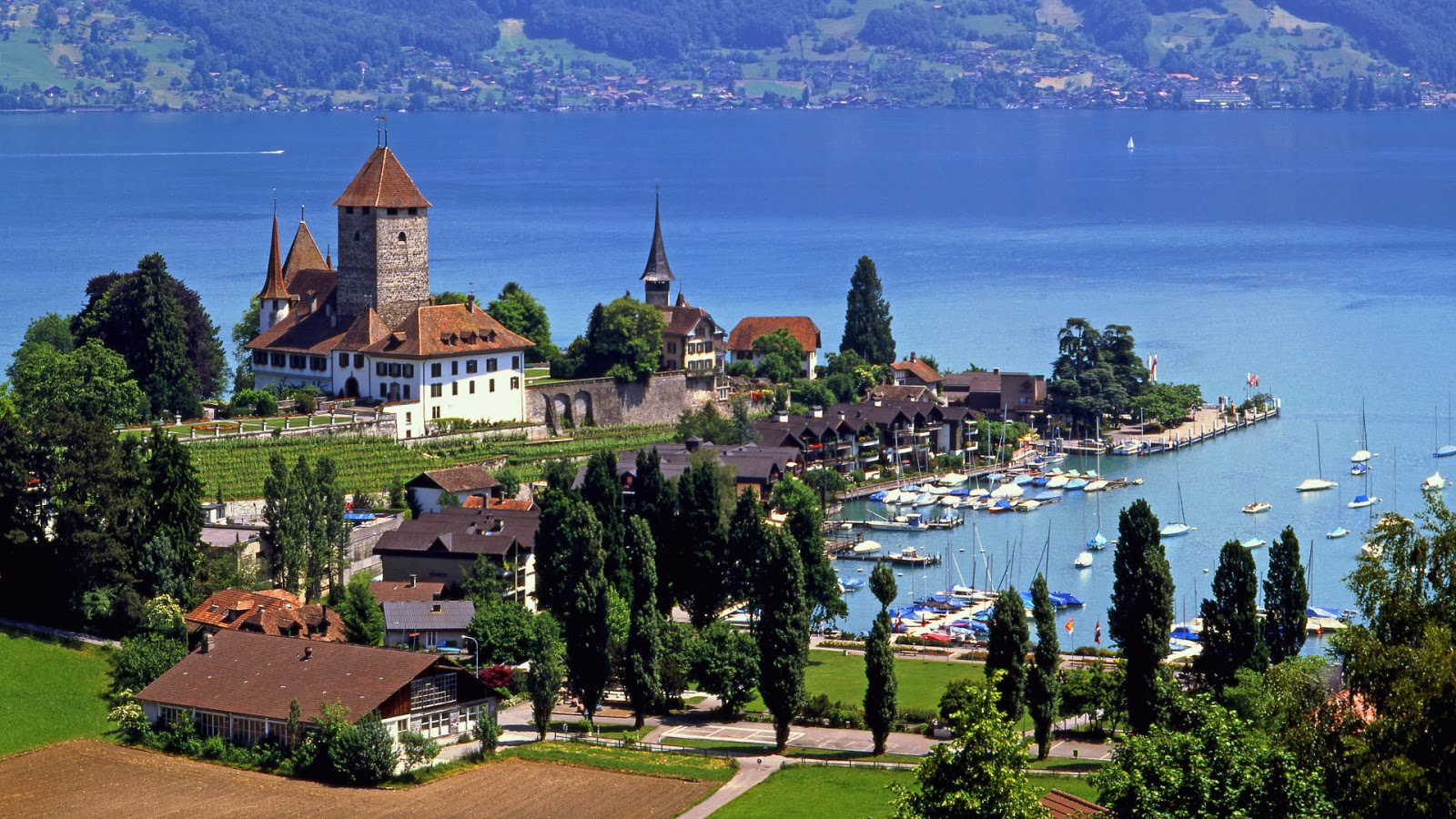
Spiez is a town and municipality on the shore of Lake Thun in the Bernese Oberland region of the Swiss canton of Bern. It forms part the Frutigen-Niedersimmental administrative district. Besides the town of Spiez, the municipality also includes the settlements of Einigen, Hondrich, Faulensee and Spiezwiler.
Geography
Spiez is located on the south shore of Lake Thun, stretching along a ridge that separates the lake front from the Kander river that runs parallel and to the south. From its lowest point on the lake, at 558 m (1,831 ft) above sea level, it reaches a height of 852 m (2,795 ft) on the ridge at Hondrichhügel.
The municipality comprises five villages (Bäuerte): Spiez, Einigen, Hondrich, Faulensee and Spiezwiler (formerly Wyler). It has an area of 16.69 km2 (6.44 sq mi).[2] As of 2012, a total of 6.01 km2 (2.32 sq mi) or 36.0% is used for agricultural purposes, while 4.99 km2 (1.93 sq mi) or 29.9% is forested. The rest of the municipality is 5.27 km2 (2.03 sq mi) or 31.6% is settled (buildings or roads), 0.34 km2 (0.13 sq mi) or 2.0% is either rivers or lakes and 0.15 km2 (37 acres) or 0.9% is unproductive land.
During the same year, industrial buildings made up 2.6% of the total area while housing and buildings made up 17.3% and transportation infrastructure made up 9.5%. while parks, green belts and sports fields made up 1.4%. A total of 28.8% of the total land area is heavily forested and 1.1% is covered with orchards or small clusters of trees. Of the agricultural land, 5.5% is used for growing crops and 28.0% is pasturage, while 2.6% is used for orchards or vine crops. Of the water in the municipality, 1.0% is in lakes and 1.0% is in rivers and streams.
Source:Picture: Link:
Wikipedia: Link:


0 comments:
Post a Comment